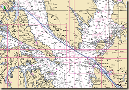
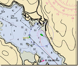
 We are off again for another short, 4 to 5 day, cruise out of the Ketchikan area. Tonight’s destination is Thorne Bay, about 30 air miles NW of Ketchikan up Clarence Strait and on Prince of Wales Island.
Clarence Strait is the main artery into Alaska inner waters from the south. Cruise ships and commercial traffic from Seattle use it regularly when heading towards Juneau and the other communities in the Alaska Panhandle.
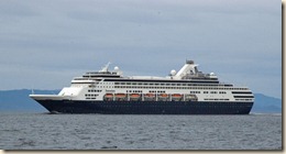
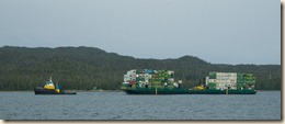
As part of our installed electronics we have AIS (Automatic Identification System), which receives navigation information about other AIS equipped vessels and transmits our navigation information. It is especially useful when staying out of the way of the cruise ships and barges because their position and route is displayed on our chart plotter. We can make small adjustments to our course well ahead of time rather than having to make large adjustments at the last minute.
Clarence Strait is wide enough that winds and ocean swells travel a long way up it which can make for a bumpy ride at times. We had the seas on our aft quarter so our auto pilot had to work a bit harder as the following seas would push our stern slightly off course. As we approached the entrance to Thorne Bay, the seas flattened out and entering the bay was not a problem.
 Prince of Wales Island has an extensive road system in its interior to access logging areas. They also connect the many communities on the island. Thorne Bay is one of those small communities and our anchorage is not the “wilderness” experience we’ve grown accustom to in recent weeks. There is a small marina here, many homes around the bay’s interior and considerable small boat traffic. It is, though, a safe and comfortable anchorage with good holding.
Today’s mileage – 36.9
Cumulative mileage – 1089.0


No comments:
Post a Comment